Lake Travis Various Level Views
Lake Travis is a flood control and irrigation reservoir. The stream level directly downstream of the Mansfield dam which forms the lake is 492 feet above mean sea level. The lake surface target level is 681 feet above MSL. Rains around central Texas tend to come all at once or not at all for long periods of drought. The Lake regularly rises and falls through a 20 foot range. It is not uncommon for the lake to drop as many as thirty feet in a dry summer or rise 10 feet above the target pool level after a huge rain event.
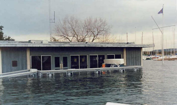
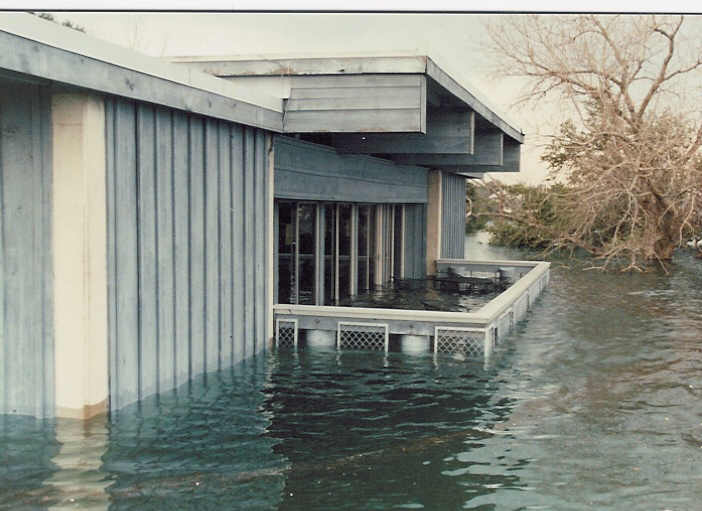
Since Schroth Fiberglass opened in 1982 we have usually had a camera with us while hauling and launching boats. ( Fred loves his before and after photos) One of our favorite subjects is the Austin Yacht Club main clubhouse as seen from various angles at various lake levels. We have photos taken at lots of levels from 634 MSL to 710 MSL.
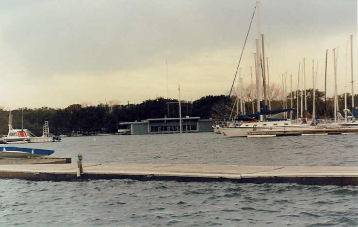
This first four shots were taken sometime around Christmas Day 1991. The lake level is 710msl
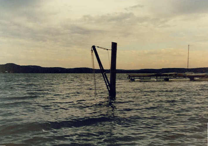
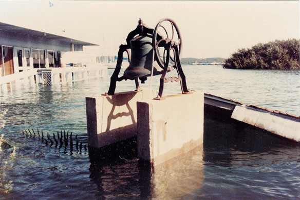
This is another 710 MSL shot. This is a hoist used for raising and lowering masts. When the lake is "normal" there is a dry paved area next to the hoist. The road sits about five feet above the normal 681 water level. The photo shows a telephone pole with a metal arm. The top ropes control the angle of the arm. The ropes dangling in the water are cleated about four feet above the pavement on the side of the telephone pole. Those cleats are 20 feet under water in this photo.
I need to find or take a photo of a boat on its trailer next to this hoist and post it.
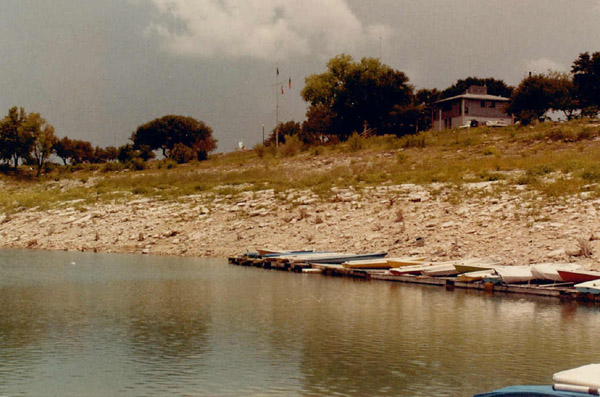
This shot was taken in 1984 when the lake was at 640 msl. Unfortunately I didn't get any shots at 634.
This was taken pretty much from the same angle as the shot above.
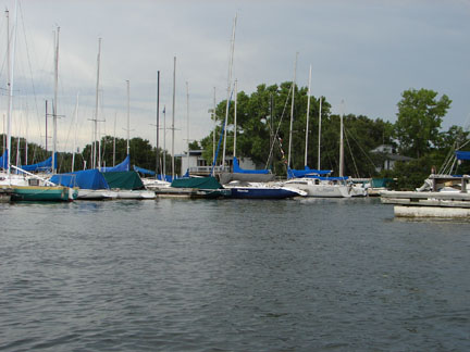
The lake level is 699 and the photo was taken on July 1, 2007
Sometime after this shot was taken, the near dock #2 was moved out of the harbor. The launching ramp goes out of the photo at the right. There is a Hunter 33 on the end of Dock #1 whose mast appears as a white vertical line. The very short vertical white line just to its right is the AYC sign on the end of the point. When I took this photo I thought the top of the Hunter 33 mast was about even with the road to the end of the AYC point.
Looking from the AYC clubhouse parking lot toward Beacon Drive. 705msl in June 1997
From the AYC basketball court. 705 MSL June 1997
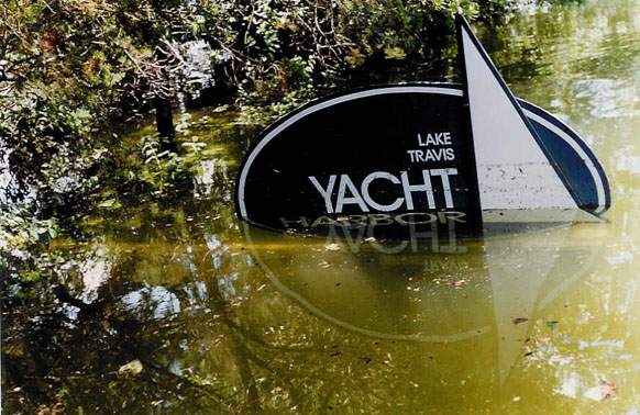
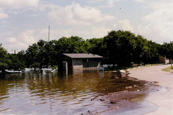
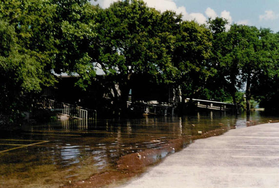
This sign is on Stewart Road. The shot was taken in June 1997 with the Lake at 705 MSL. The dry storage area at yacht harbor was probably under five feet or more of water. Robins Nest Bed and Breakfast was flooded too.
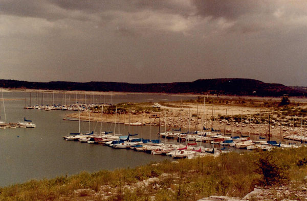
More 1991 before they closed the lake
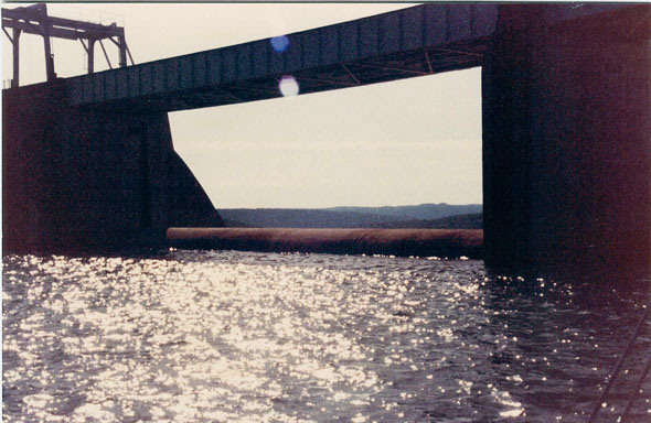
The spillway at 714 is four feet higher than the water level.
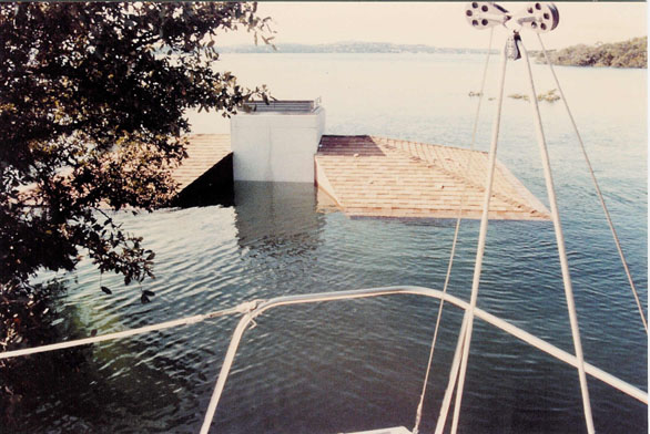
Taken through the stern rail and back stay of Psycho the J-24 #187, you are looking at the roof of one of the toilet facilities at Hippie Hollow. Windy Point would be just in front of the backstay if it were not under 30 feet of water. The Totem on the water gas station and convenience store is just to the right of the tallest hill in the far background. AYC is near the little clump of leaves.
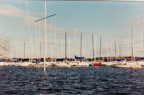
Taken from a boat just to the south of the AYC Clubhouse.
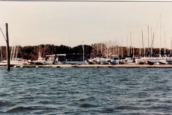
This shot was taken from about 10 feet above the top of the submerged windsock on the AYC point
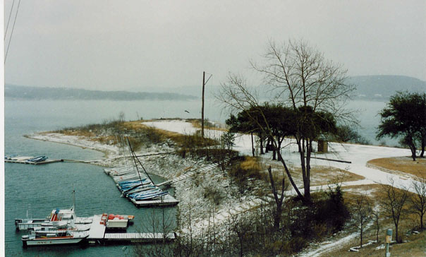
Snow at AYC?? It happens. The lake is at about 670
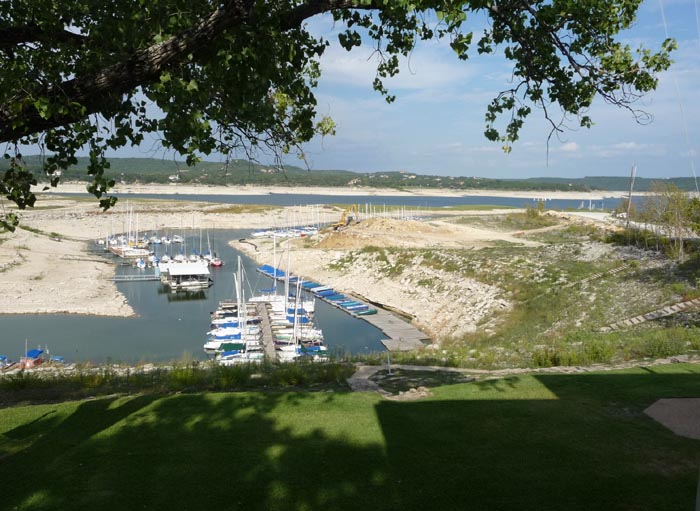
October 2009 from under the clubhouse looking out while backhoe is digging for new ramp. Level is 630.5
AYC from bottom of new ramp as it is being poured. Photo taken in October 2009. Lake level 630.5. The tip of the ramp is at 632
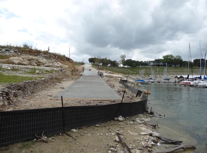
Photos below are from October 2009.
This is the lowest of three sections of extension at the Mansfield Dam park. The level is 630
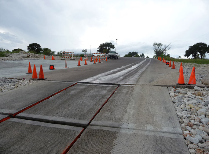
These are the upper six of the nine extension chunks. Each chunk is 12 feet long and 6 feet wide. The four lane poured ramp ends at 635. The white area to the left of the cones is fresh additional concrete.
For those who looked above and want to know what a duck draws...I don't know either but it makes them very tired..